

Environment Canada has issued a Special Weather Statement for North Eastern Ontario.
A system approaching the area Friday will include significant rainfall , mixing with snow by Saturday morning. Although, Sault Ste. Marie is included in the watch area, the heavy rain and accumulating snow will impact areas east of Sault Ste. Marie.
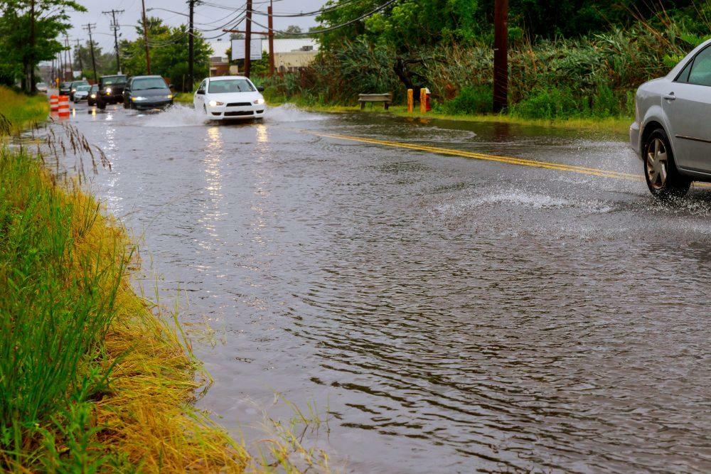
Environment Canada said , significant rainfall is possible tonight through Saturday. The frozen ground has a reduced ability to absorb this rainfall.
Total amounts of 20 to 30 mm, with locally higher amounts possible. The highest rainfall amounts are expected from Manitoulin Island to the Sudbury and North Bay areas.
Rain progresses northeastward through this evening. Rain will taper and may transition to snow from west to east on Saturday. Snow could linger into Sunday, particularly for Greater Sudbury and eastward. Rainfall warnings may be required for some regions as the event approaches.
Snow may be the primary precipitation type over higher terrain from north of Elliot Lake to northwest of Sudbury where accumulation is expected. Snowfall amounts near 10 cm are likely in these areas.
Localized flooding in low-lying areas is possible.