

Lake-effect snow squalls have now organized and impacting parts of Superior East and Sault Ste. Marie.
Environment Canada warns that heavy accumulation is expected this afternoon and into the evening.
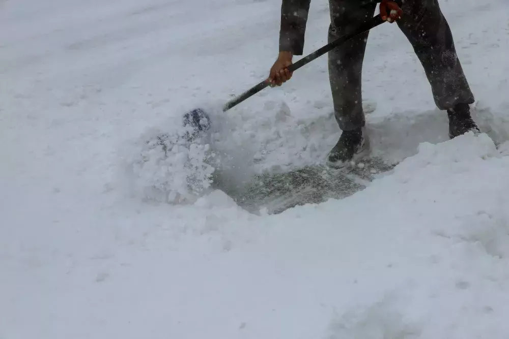
Under the snow squall bands, visibilities will be significantly reduced due to the heavy snow combined with blowing snow, and snow will quickly accumulate.
Locally heavy snowfall with total amounts of 20 to 30 cm. Near zero visibility at times in heavy snow and blowing snow.
Intense snow squalls are expected tonight east of Lake Superior. Snow squalls will weaken Wednesday morning.
Travel is expected to be dangerous along portions of highway 17 between Sault Ste. Marie and Wawa during this event and is not recommended.
Visibility will be suddenly reduced to near zero at times in heavy snow and blowing snow. Rapidly accumulating snow could make travel difficult over some locations. Road closures are possible.