

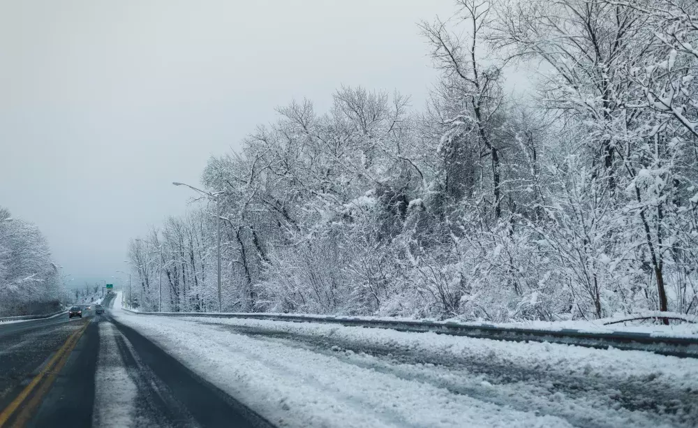
Environment Canada says Sault Ste. Marie and parts of the Algoma district could be in for a significant winter storm developing by Tuesday night and lasting through to Friday.
An arctic blast of cold air is forecast to spread over the region starting Tuesday night and into Wednesday thanks to a cold front. Starting off as rain and snow then becoming snow. Likely producing a few centimeters of accumulation. Temperatures are expected to fall to the negative digits Tuesday night and stay there for the rest of the week.
The movement of cold air over the Great Lakes could lead to an active lake effect event Wednesday with a north west wind. Snow and blowing snow is likely to occur. Things get interesting Wednesday night where snow squalls may develop behind the front. Up to 15cm of snow and blowing snow is a possibility. Winter storm conditions remain in the forecast lasting through Friday. .
That cold blast of air will meet up with a deepening low pressure system expected to track through the lower Great Lakes which means a prolonged period of active winter weather.
Snow amounts for Sault Ste. Marie currently vary depending on the forecast models. That’s where the uncertainty of accumulating snow comes from. As we all know, snow squalls can leave behind a lot of snow to one area while another sees very little.
Nonetheless, the ingredients for some major winter weather will be in place by Wednesday .


Nah….it too shall pass.