
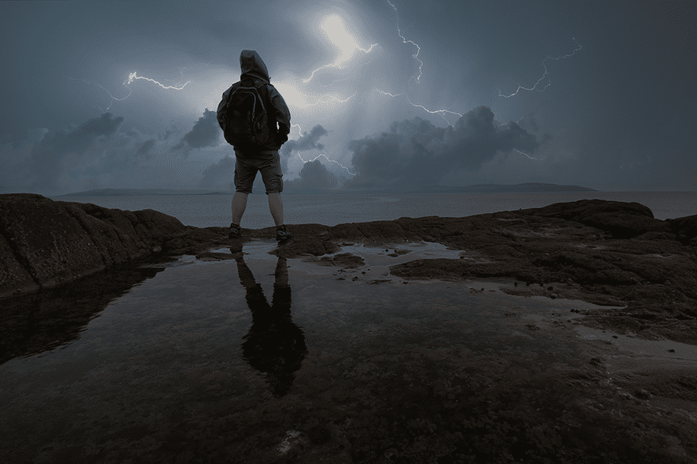
Environment Canada meteorologists are tracking a severe thunderstorm capable of producing very strong wind gusts, up to toonie size hail and heavy rain.
This severe thunderstorm is located 14 kilometres west of Pointe des Chênes, moving east at 55 km/h.
Hazard: Toonie size hail and 90 km/h wind gusts.
Locations impacted include:
Sault Ste. Marie, Pointe des Chênes, Allard Lake, Nettleton Lake, Odena and Lake George.
Strong wind gusts can toss loose objects, damage weak buildings, break branches off trees and overturn large vehicles. Remember, severe thunderstorms can produce tornadoes.
Lightning kills and injures Canadians every year. Remember, when thunder roars, go indoors!
Emergency Management Ontario recommends that you take cover immediately if threatening weather approaches.
Severe thunderstorm warnings are issued when imminent or occurring thunderstorms are likely to produce or are producing one or more of the following: large hail, damaging winds, torrential rainfall.